
Mapping Weed Wrack Accumulation in Jurien Bay
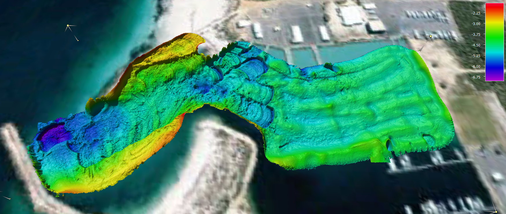
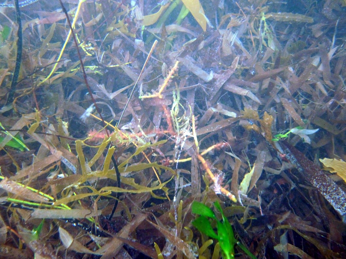
Acoustic Imaging have been engaged by the Department of Transport (Fremantle) to map the accumulation of weed wrack in Jurien Bay Harbour. The harbour was constructed in 1988 and in the last few years, has faced environmental and safety issues from accumulation of weed wrack during winter storms. Dredging of the harbour was undertaken earlier this year and it is hoped that determination of weed wrack volumes via repeat surveys of the area can provide data for future management of the harbour.
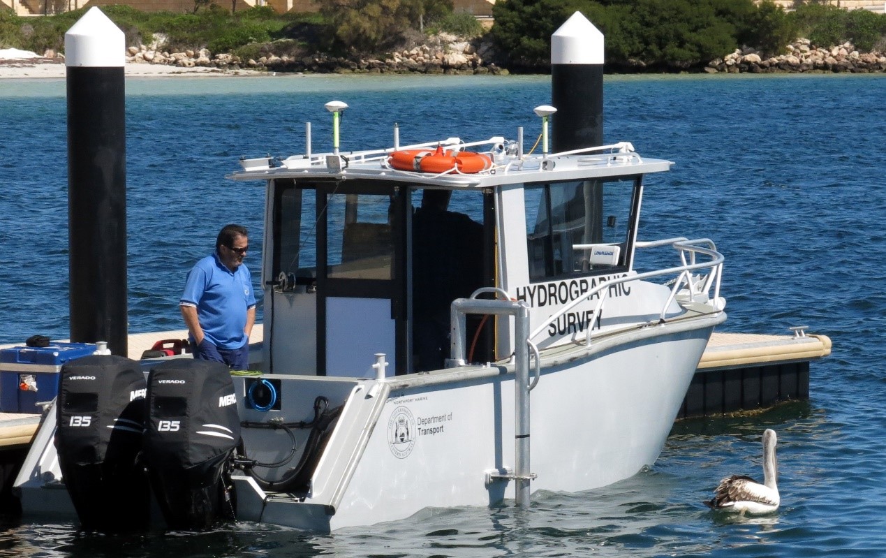
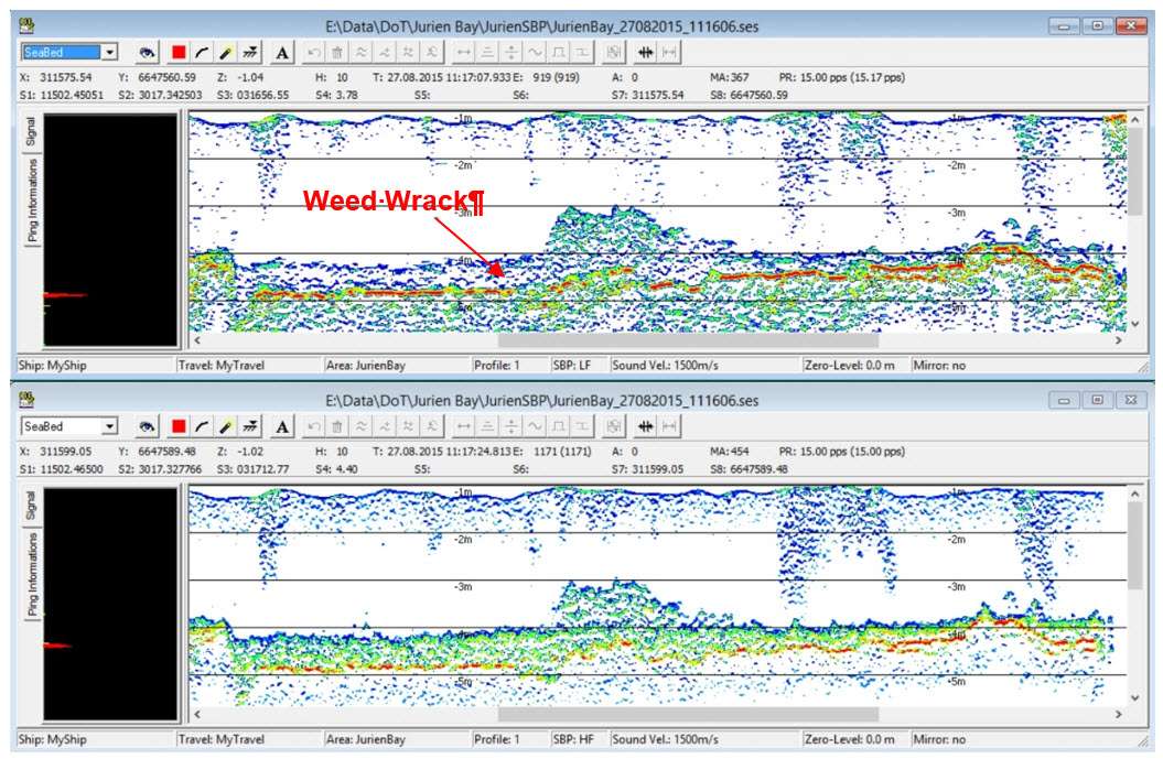
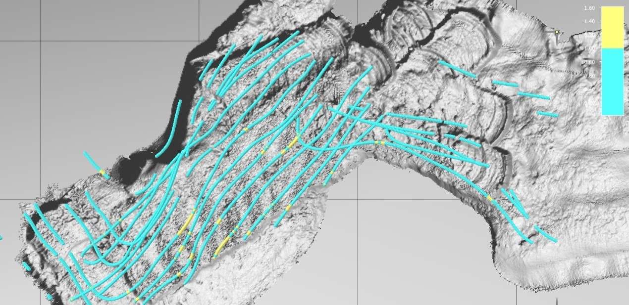
The initial survey was conducted in late August and employed the DoT’s R2Sonic 2022 MBES system and Acoustic Imaging’s Innomar SES-2000 subbottom profiler to map the harbour floor. The backscatter intensity and textural character of the bathmetry data provided an indication of the areal extent of the weed in the harbour, while the data obtained from the subbottom profiler provided cross-sectional information and allowed calculation of weed thickness and volumes.
Acoustic Imaging is the Australian reseller for Innomar products and can provide installation advice and training. The Innomar subbottom profiler used for the Jurien Bay survey is currently stored in WA and is available for use in other projects.
Back to Projects list