
Satellite Based Augmentation System for Australia 2017
Australia’s own Satellite-Based Augmentation System (SBAS) has been launched and is hosted by the Inmarsat 41F satellite at 143.5 degrees east.
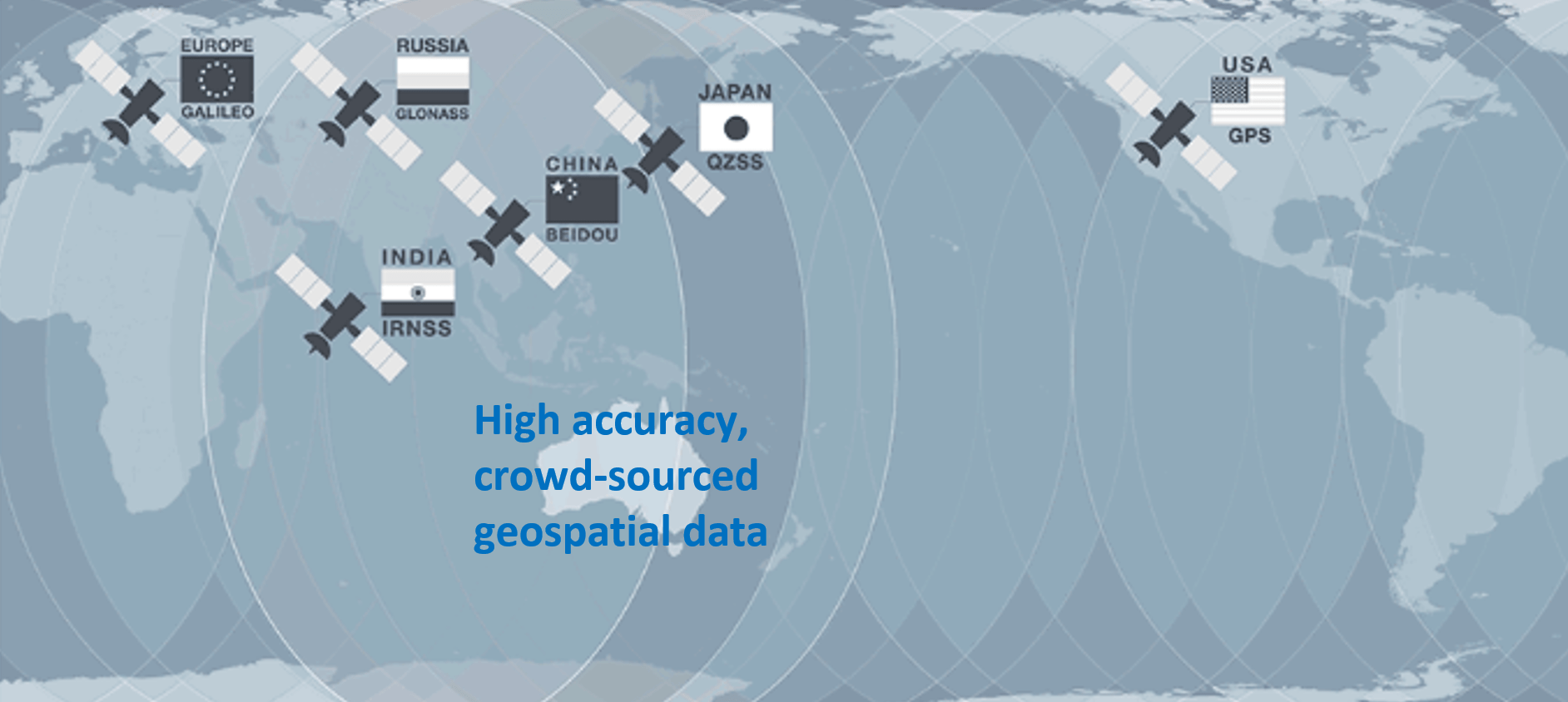
Our SBAS uses tracking stations across Australia to located existing GNSS infrastructre in space (GPS, Glonass, QZSS, Beidou, IRNSS, Galileo). An analysis alogrithm hosted by a computer on the ground optimises the position of each satellite relative to each stationary tracking station. The optimised location is uploaded to the Inmarasat 41F satellite. From there it can be received and used by everyone in Australia.
Currently in test phase, Australia’s SBAS will have the capability to provide a high accuracy (less than 10 cm vertical and horizontal) position by implementing a muti-frequency, precise point positioning methodology in the computer algorithm prior to upload to the satellite in realtime.
The possibilities for high accuracy, crowd-sourced geospatial data in Australia are now a reality. Read more on the Geoscience Australia website.
Back to Support