



Acoustic Imaging has been accepted into the ESRI Partnership Program. By joining the ESRI Partnership Program Acoustic Imaging has strengthened its ties with ESRI and the ArcGIS product range. The..
Read more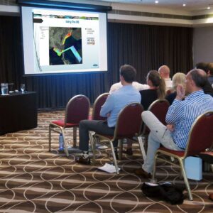
Managing Marine GIS Data Using QPS & ESRI Software: A Case Study Acoustic Imaging’s Doug Bergersen and Helen Tait recently attended the Australasian Hydrographic Society’s (West Australian Region) AGM to..
Read more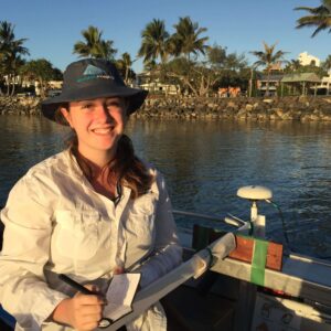
For Year 10 Work Experience, I was fortunate enough to be able to work with Acoustic Imaging for a week. During this time, we worked on the Mooloolah River, SE..
Read more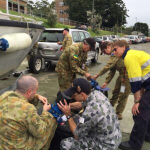
Acoustic Imaging devised a customised training course for the Army Reserve to add high accuracy shallow water wide swath mulitbeam echosounder surveys to their already accomplished single beam echosounder capabilities..
Read more
November is shaping up to be a busy time for Acoustic Imaging. We will be attending, presenting and instructing at, sponsoring, and hosting trade booths at the the following conferences,..
Read more