
Acoustic Imaging’s Lindsay Gee leading the Nautilus Scientific Team
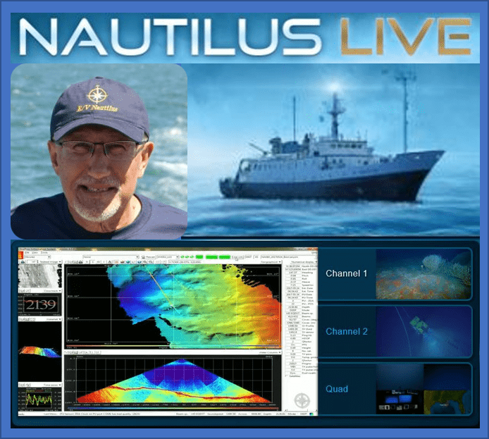
Acoustic Imaging’s Lindsay Gee is back on E/V Nautilus. This time in the role of team scientific leader. Lindsay was previously onboard earlier in the season for the annual shakedown of the ship where he assisted Paul Johnson (CCOM UNH) for the Multibeam Advisory Committee’s (MAC) annual Quality Assurance Review of the Kongsberg EM302 Multibeam system.
Nautilus is now mapping north from San Francisco to the Canadian border, in the Cordell Bank National Marine Sanctuary, and along the US-Cascadia continental margin. The primary focus of the exploration will be to continue the 2016 mapping to provide further information on the distribution of methane seeps in the many unexplored areas on the Cascadia margin.
The 2017 Nautilus Expedition is the third year of exploration in the Eastern Pacific Ocean, and will be one of the most extensive seasons to date. From May to November, Nautilus will continue to document and survey unexplored regions from British Columbia, Canada, along the West Coast of the United States, to Baja California, Mexico.
Only about 13% of our world’s oceans have been acoustically mapped. E/V Nautilus is equipped with a multibeam sonar and sub-bottom echosounder to collect bathymetric, surface sediment characteristic, subsurface geology and water column data. Satellites equipped with altimetry sensors have also been used to derive the bathymetry of the entire seafloor by sensing gravity anomalies of the sea surface that can be linked to topography (e.g. dip in the surface of the ocean over a trench). These types of seafloor mapping data is useful for identifying areas or features of interest, creating bathymetric charts for ROV dive planning and situational awareness, and locating hydrothermal vents and gas or oil seeps.
The Corps of Exploration will map unsurveyed areas and areas with low resolution data with partners at the National Oceanic and Atmospheric Administration (NOAA). For this expedition, priority areas for seafloor mapping include Channel Islands National Marine Sanctuary, Monterey Bay National Marine Sanctuary, Greater Farallones National Marine Sanctuary, Cordell Bank National Marine Sanctuary, and Olympic Coast National Marine Sanctuary.
Nautilus is currently surveying and can be followed live at http://www.nautiluslive.org/.
Back to News list